
About MapTiler
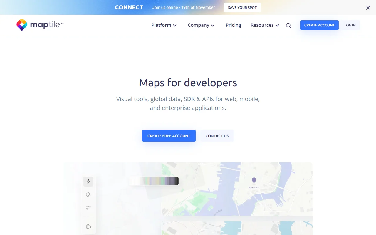
MapTiler is a mapping platform for developers. It offers map styles, data hosting and search APIs for web, mobile and enterprise applications.
What it does
MapTiler provides map tiles in ready-made styles, a TypeScript SDK for interactive maps, and search and geocoding APIs. Users can upload geodata such as GeoJSON or GPX and display it on a map. The platform also offers weather layers and an option to run maps on premises for offline use.
Key features
- Ready-made map styles for streets, satellite and terrain
- Search and geocoding to turn addresses into coordinates
- IP geolocation to estimate where a user is
- Upload GeoJSON, KML, GPX and TIFF data to show on maps
- Map designer for custom styles
Who it's for
MapTiler suits web and mobile developers who need interactive maps, as well as GIS and mapping teams working with spatial data. Organizations with strict data rules may consider the Swiss and EEA hosting option described on the site.
Pricing and good to know
The site offers a free account to create maps and try the APIs, and it describes paid plans for larger use. Maps can be served from the cloud or from an on-premises setup. The company says that personal data and its Maps API stay in Switzerland and the EEA.
Highlights
- Ready-made map styles for streets, satellite and terrain
- Search and geocoding to turn addresses into coordinates
- IP geolocation to estimate where a user is
- Upload GeoJSON, KML, GPX and TIFF data to show on maps
- Map designer for custom styles